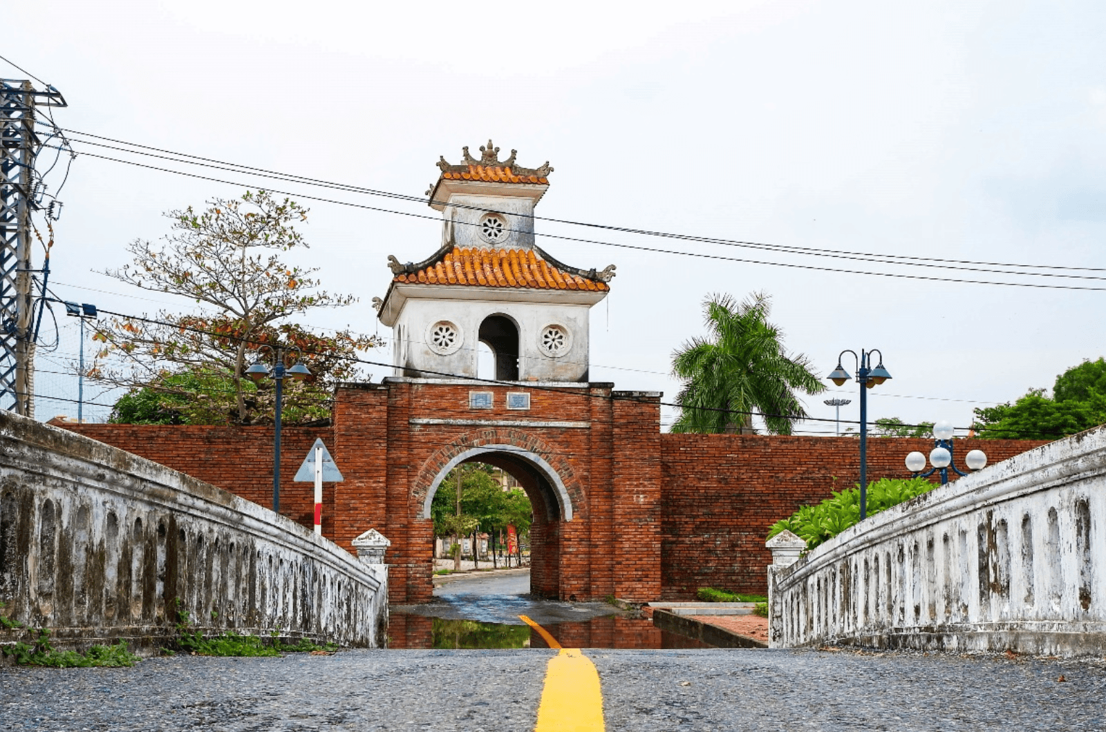
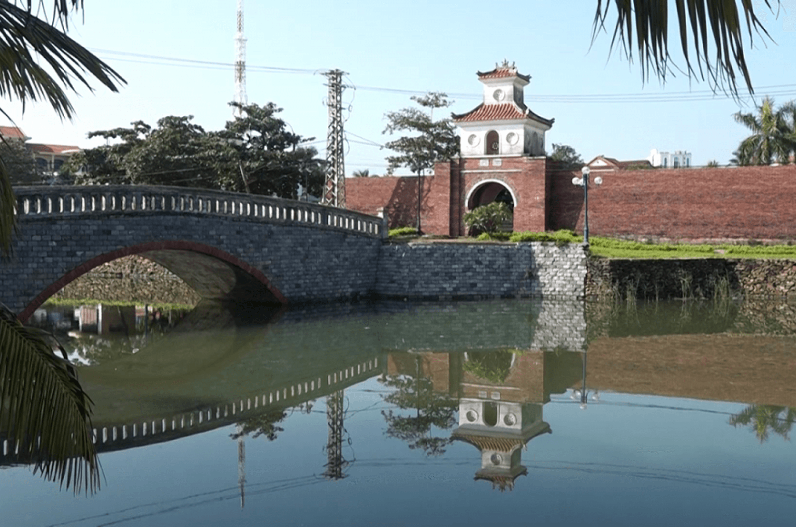
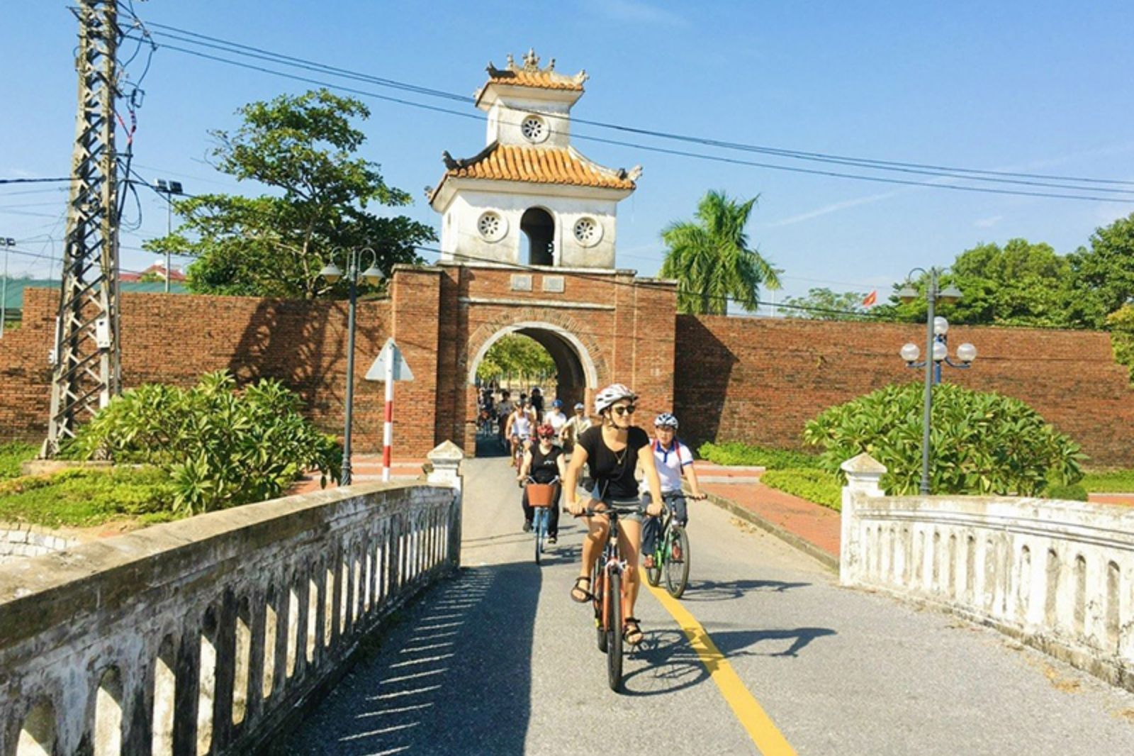
Dong Hoi Ancient Citadel is located right in the center of Dong Hoi City, Quang Binh Province, Vietnam. Specifically, the monument is located in Hai Dinh and Dong Phu wards, about 1,500 meters from Nhat Le sea mouth, next to the Nhat Le River and near the confluence with the Le Ky River. This location is not only close to the sea but also situated on the sole trans-Vietnam route, making it a vital choke point from North to South or vice versa.
The strategic role of Dong Hoi Ancient Citadel was extremely important throughout historical periods. Initially, it was built as part of the Luy Thay system (also known as Dinh Bac Truong Thanh), aimed at protecting the southern border of Dang Trong under the Nguyen Lords. The citadel was situated at a bottleneck position, controlling the North-South land axis and the waterway at the Nhat Le River mouth, helping to stop attacks from the North. In the context of Central Vietnam's narrow geographical width, surrounded by mountains and rivers, Dong Hoi Ancient Citadel acted as a "gateway" protecting the land of Quang Binh and the entire Central region from foreign invaders. This not only helped maintain political stability but also supported local socio-economic development through controlling traffic and trade.