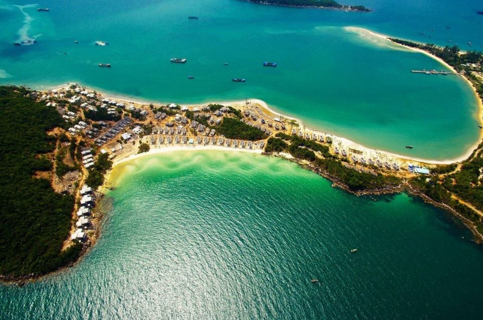
Ong Doi Cape is located at the southernmost tip of Phu Quoc Island, in An Thoi Ward, Phu Quoc City, Kien Giang Province. This is a headland jutting out into the sea, situated between the Gulf of Thailand and the East Sea, creating a unique "two-faced sea" topography.
- Distance: About 32km from the center of Duong Dong Town, about 23-25km from Phu Quoc Airport.
- Travel time: It takes about 40-60 minutes by motorbike or car from the airport or Duong Dong.
How to get to Ong Doi Cape:
- From Phu Quoc Airport - follow Tran Hung Dao Street - Phu Quoc Highway - turn onto Nguyen Van Cu Street (southbound) - go straight for about 15km to An Thoi area - continue along the access road to Ong Doi Cape (clearly signposted).
- Use Google Maps or ask locals for easier navigation. Roads have been upgraded and are quite convenient, although some sections still wind through forests and hills.
- Popular transport: Rent a motorbike (120,000-200,000 VND/day) or hire a private car/Grab. If traveling in a large group, you can rent a 7-seater car.
Note: The road to the tip of the cape is quite narrow and steep in some sections, so drive carefully, especially if it rains.