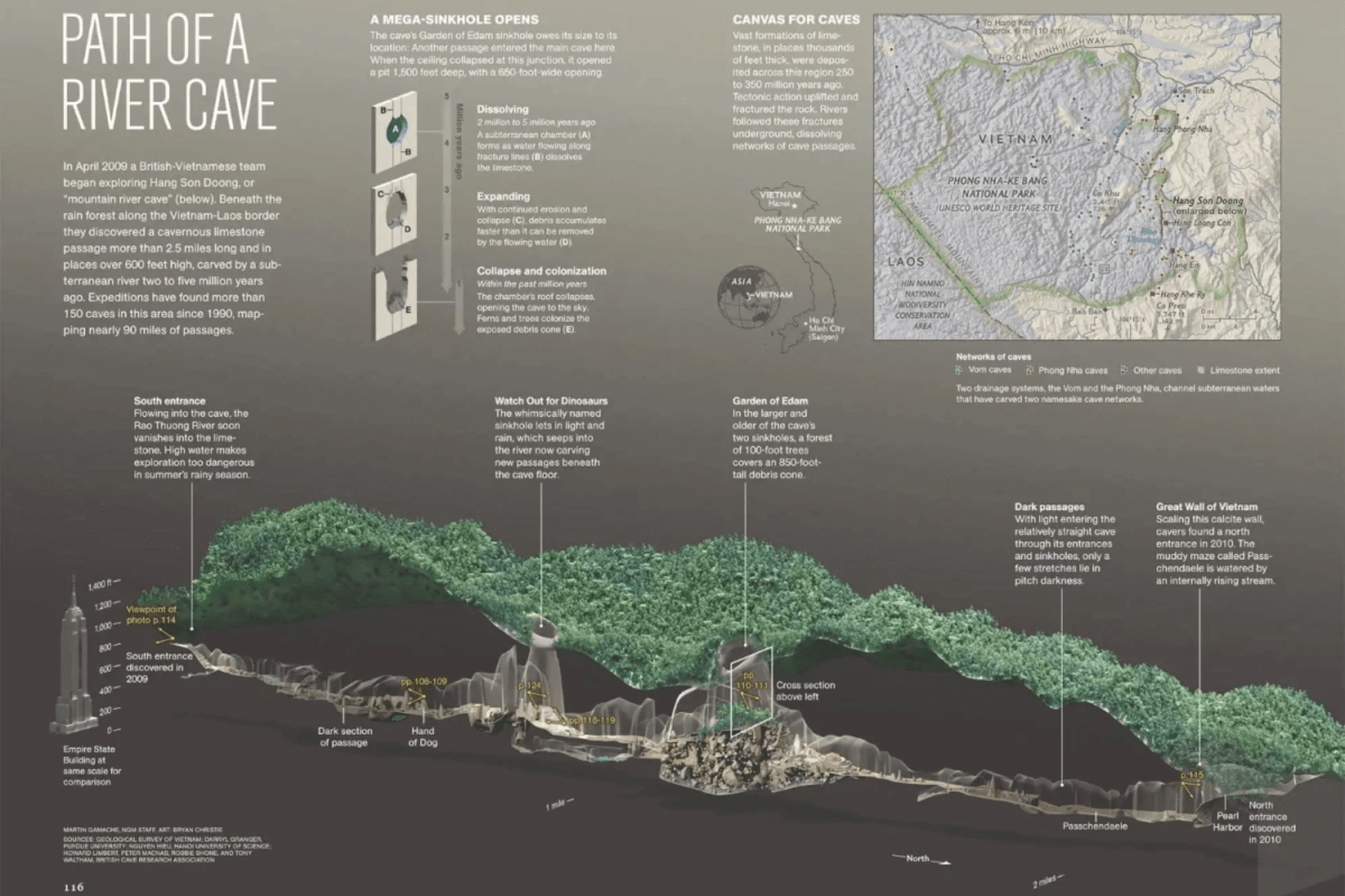
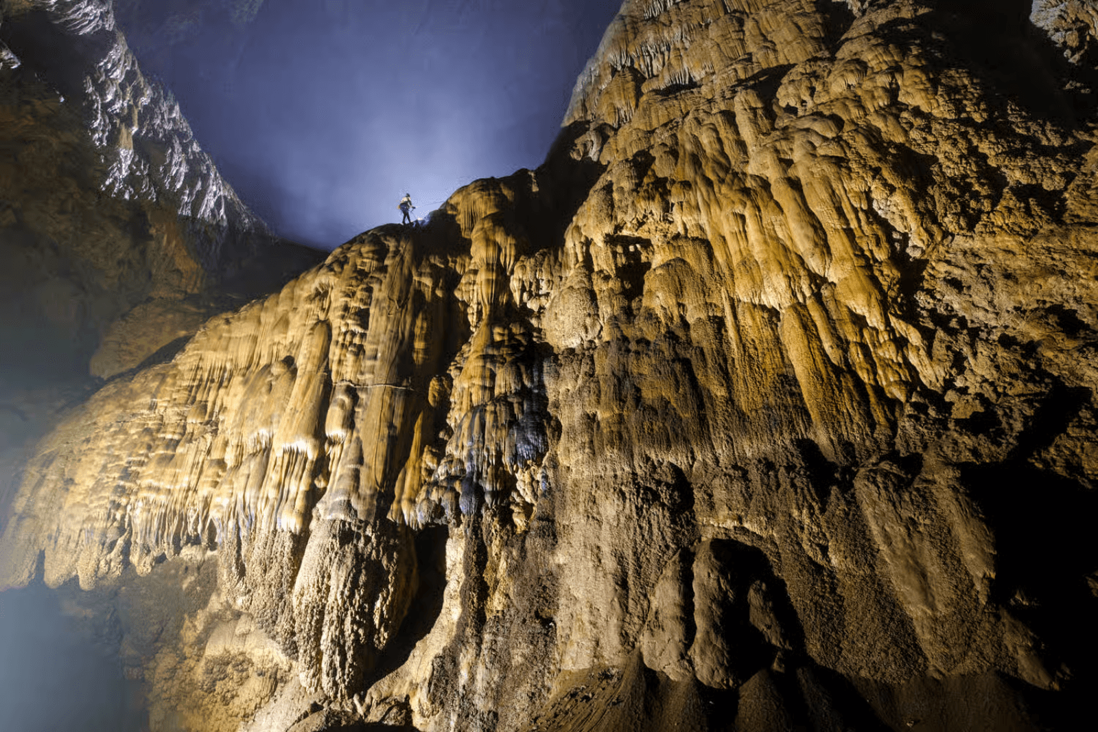
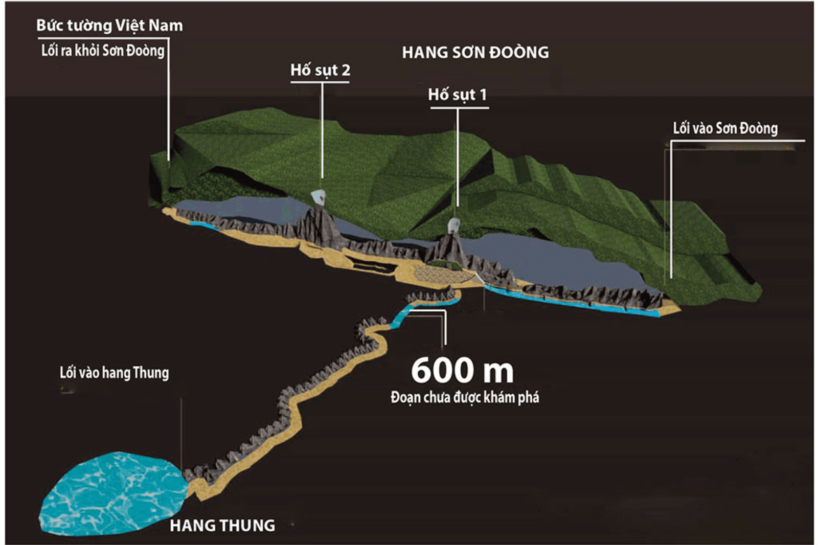
Son Doong Cave is located in the core zone of Phong Nha - Ke Bang National Park, near the Vietnam - Laos border. The exact coordinates are 17°27’25.88″ N, 106°17’15.36″ E. Research shows the cave is over 9 km long, with a volume of 38.5 million m³, reaching heights of up to 200 m and widths up to 150 m at certain passages.
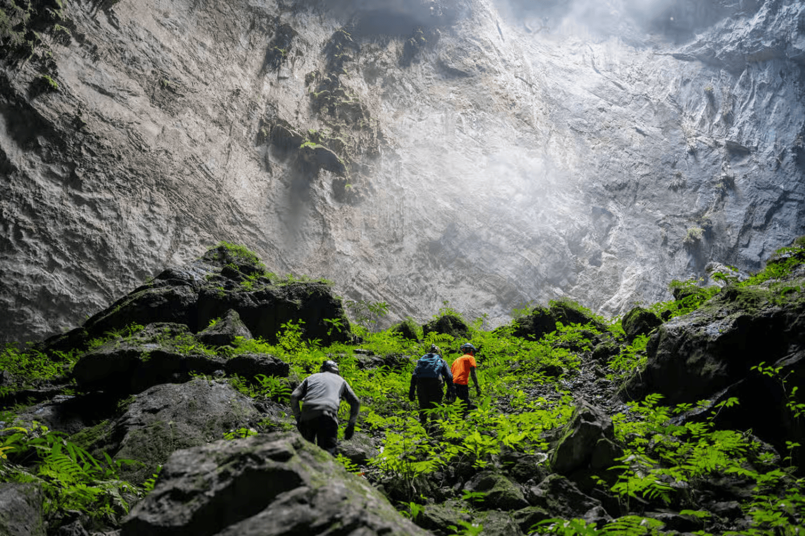
Route Map to Son Doong Cave
The journey begins from Dong Hoi, located about 50 km northwest of the cave. Travelers pass through Ban Doong, a small village of the Bru - Van Kieu ethnic group, before entering the cave area. Below are the main milestones:
- Dong Hoi → Ban Doong: Around 45 km, drive to the West Branch of Ho Chi Minh Highway, then trek 12 km through the jungle.
- Ban Doong → Hang En: A 10 km trek across streams and mountains, where travelers rest at Hang En before entering Son Doong.
- Hang En → Son Doong Cave: Explore deep into Hang En and follow the rear exit to reach Son Doong Cave.
Note: Detailed maps of the interior of Son Doong Cave are not publicly released to protect the heritage site. However, visitors will be provided with a basic route map upon registering for the tour.