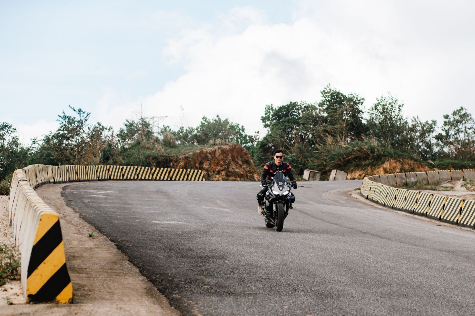
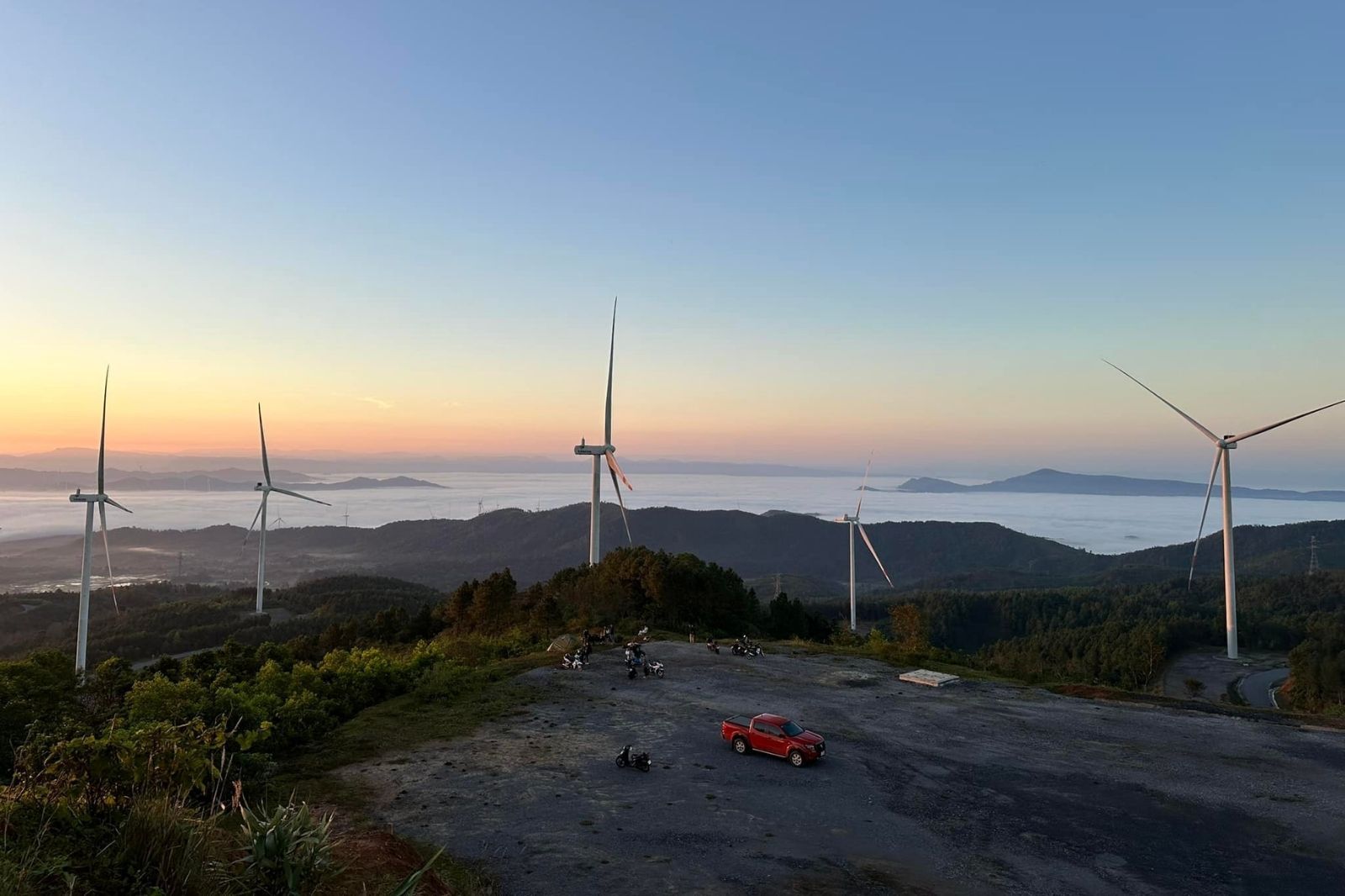
Huong Hoa is located in the west of Quang Tri Province, bordering Laos along National Route 9 and the West branch of the Ho Chi Minh Highway. It is a land of majestic mountains and forests, with a cool climate year-round and famous landmarks such as Lao Bao Border Gate, Dakrong Suspension Bridge, Ta Puong Waterfall, and Cu Vo Peak – known as a "cloud-hunting paradise". Huong Hoa is also home to ethnic minorities such as the Pa Ko and Van Kieu, offering opportunities to explore unique local cultures.
Ideal time for a backpacking trip to Huong Hoa
According to travel experience, the best time to backpack in Huong Hoa is from February to May, when the weather is dry, cool, and sees little rain, making travel and exploration convenient. Avoid traveling during the rainy season (September to January) as mountain passes can be slippery and dangerous, especially on motorbikes. June to August is usually hot due to the influence of Foehn winds, so thorough preparation is needed to avoid heatstroke.
Scouting and planning the itinerary
- Route research: Learn about routes from Dong Ha (Quang Tri center) to Huong Hoa, such as National Route 9 or the West branch of the Ho Chi Minh Highway. These routes mainly feature steep passes, so inspect them thoroughly before setting off.
- Attractions: Must-visit spots include: Lao Bao Border Gate, Chenh Venh Waterfall, Lao Bao Prison, Cu Vo Peak, and Huong Tan (where you can admire wind turbines immersed in clouds). Create a detailed itinerary, prioritizing nearby spots to save time.
- Gather tips: Consult articles, blogs, or backpacker groups on social media to update yourself with the latest information.
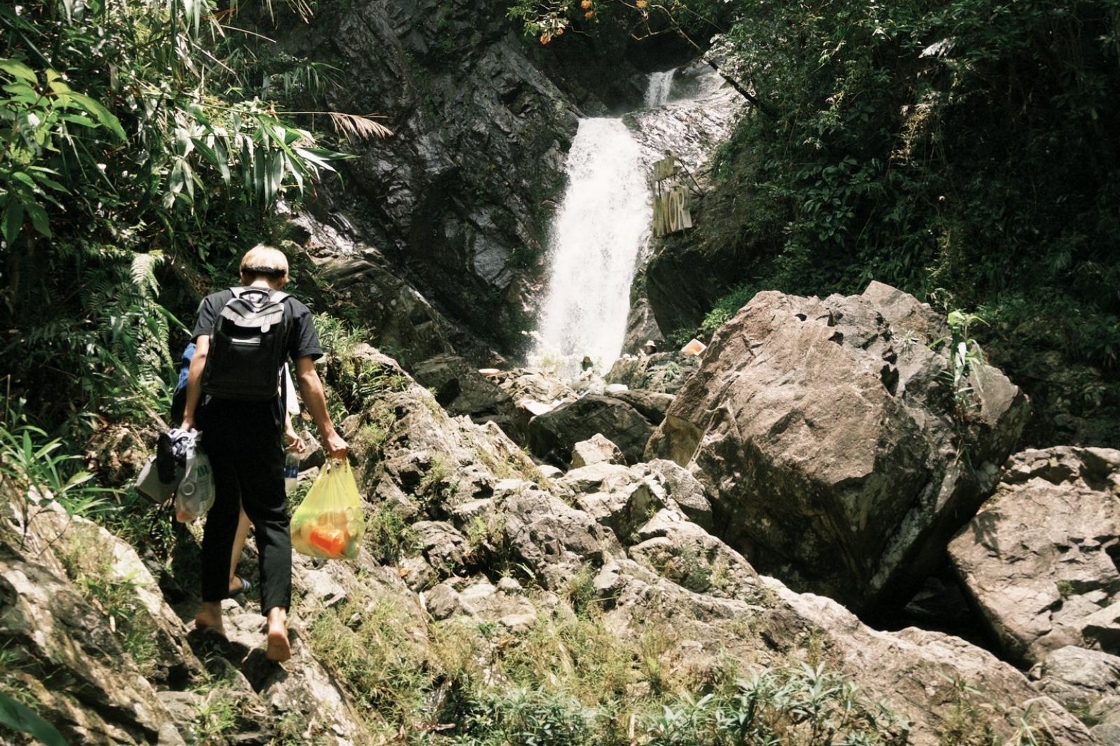
Huong Hoa is not only a destination for nature lovers, but also a journey to discover the cultural depth and pristine landscapes of the borderland. With careful preparation, every trip here will be a rewarding, unique, and unforgettable experience.