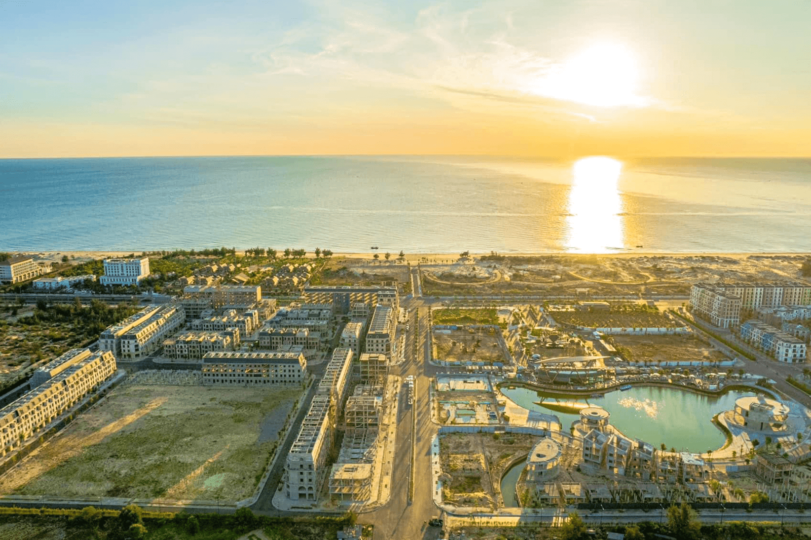
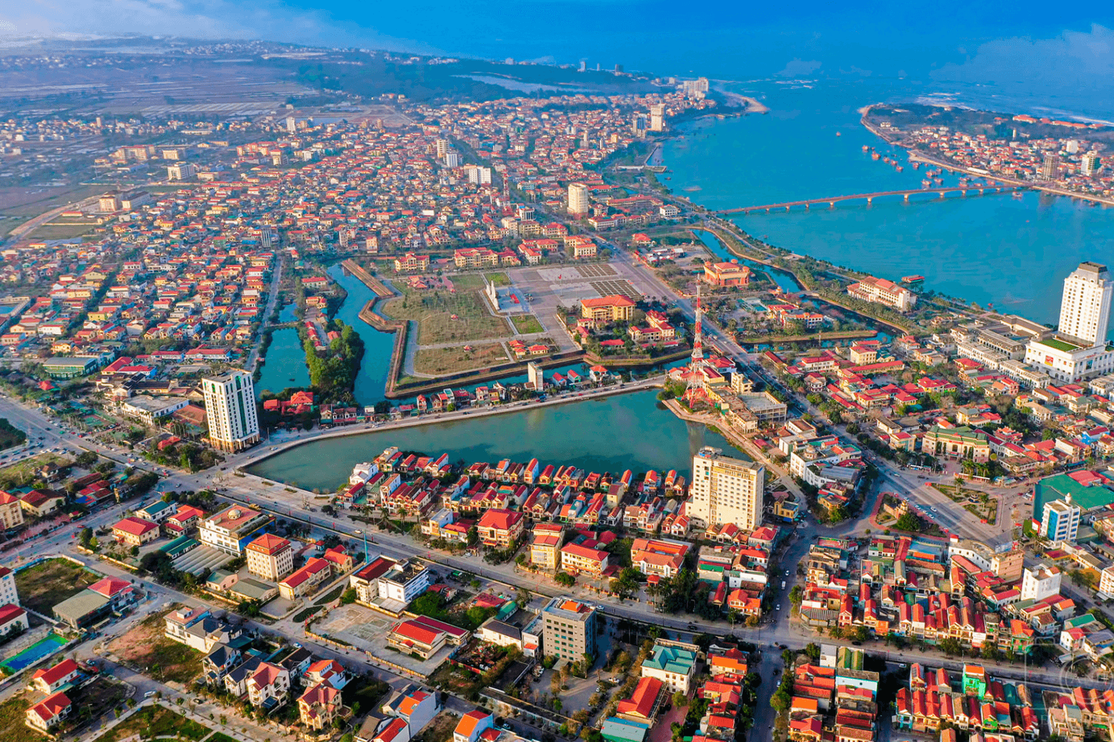
Dong Hoi belongs to Quang Binh Province, located in Central Vietnam along National Highway 1A and the North–South railway line, with geographical coordinates of 17°21' N latitude and 106°10' E longitude. The city comprises coastal areas, plains, and characteristic sand dunes. Dong Hoi stands out with Nhat Le Beach, one of the top 10 most beautiful beaches in Vietnam, along with a convenient transportation system including an airport, railway station, and seaport.
Geographical location on the map
- To the East: Borders the East Sea with a 12 km coastline, famous for beaches such as Nhat Le, Bao Ninh, and Quang Phu.
- To the West: Near Phong Nha – Ke Bang National Park, about 50 km away.
- To the South and North: Connects with Quang Ninh and Bo Trach districts, creating favorable conditions for inter-regional tourism.
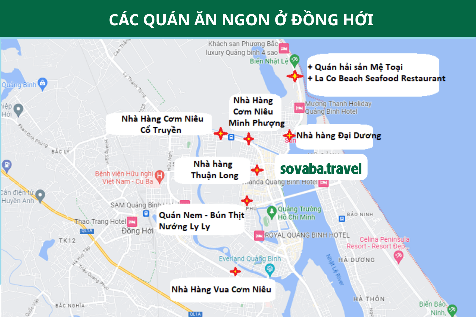
The Dong Hoi tourist map helps you easily locate attractions, restaurants, hotels, and major routes. You can use Google Maps or paper maps provided by travel companies to explore the city.