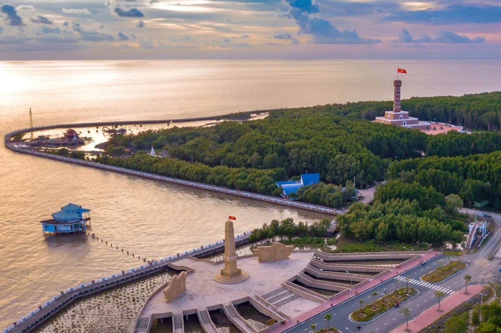
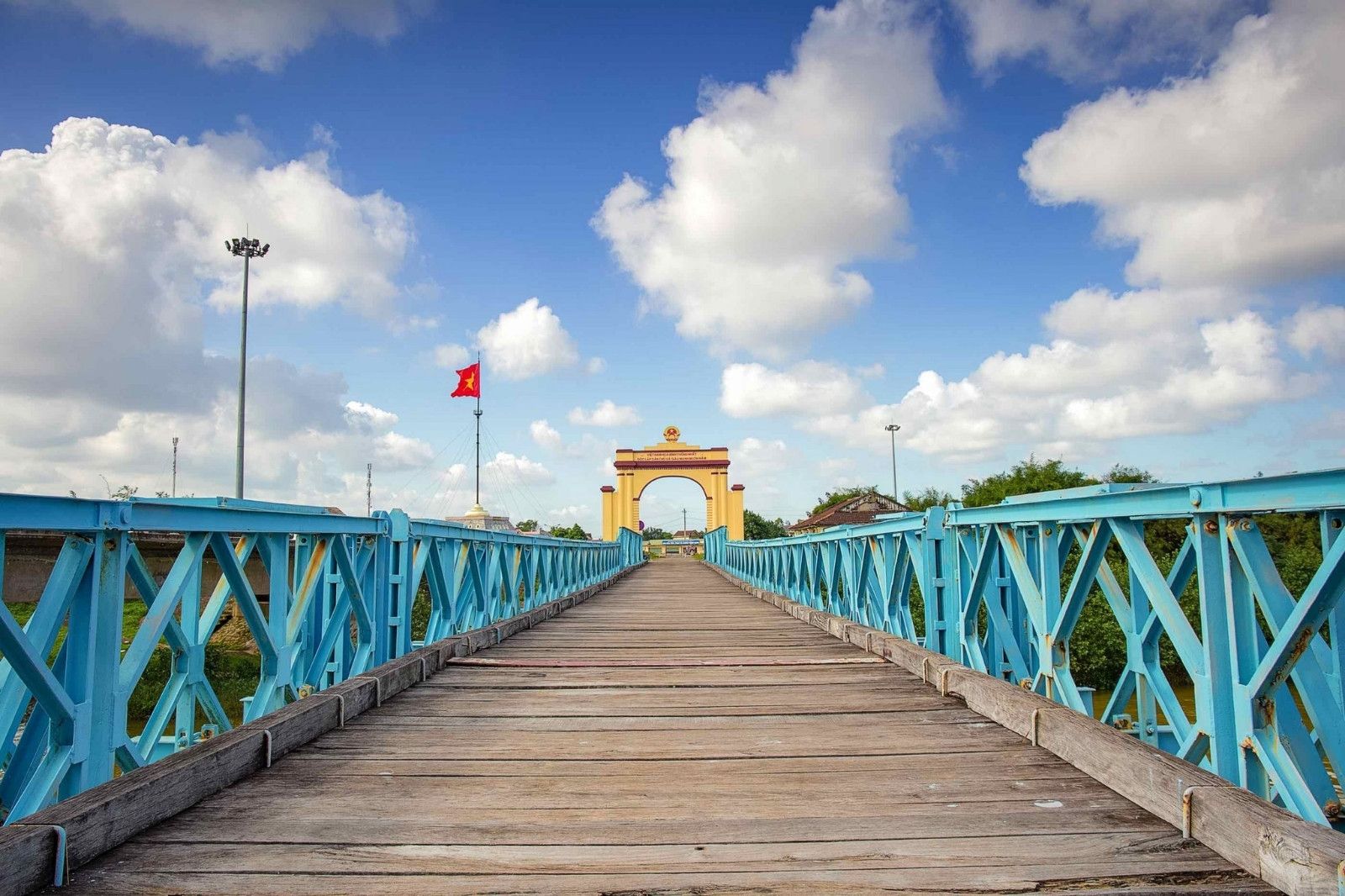
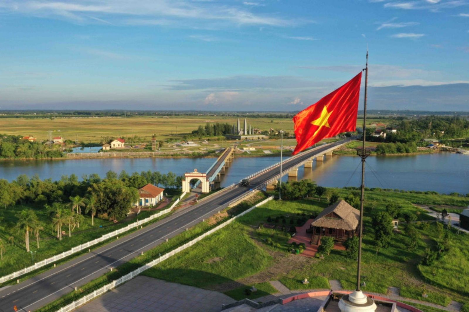
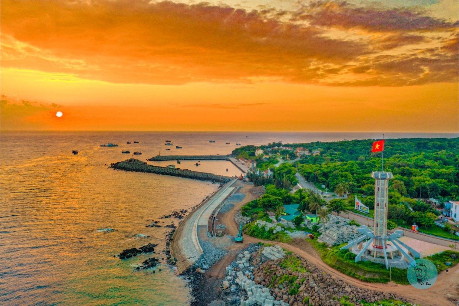
The new Quang Tri province is located in the North Central Coast region, extending from latitude 16°18' to 18°05' North and longitude 105°30' to 108°00' East. The province borders the East Sea to the East, Laos to the West (Khammuane, Savannakhet, and Salavan provinces), Ha Tinh province to the North, and Thua Thien Hue to the South.
The natural area is approximately 12,700 km², with an extremely diverse topography:
- High mountains and hilly areas account for about 70–75% of the area (North Truong Son Range).
- The coastal plain is narrow but long, with many beautiful beaches.
- Major river systems: Gianh River, Nhat Le River, Hieu River, Thach Han River, Ben Hai River…
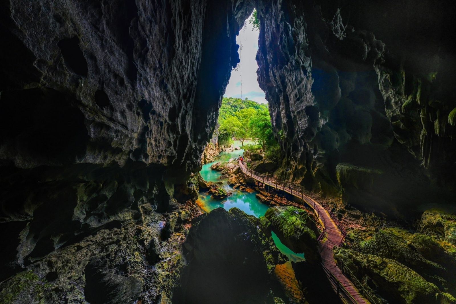
- Over 400 famous caves in Phong Nha – Ke Bang National Park (now belonging to the new Quang Tri province), including Son Doong – the largest cave in the world.
The climate is tropical monsoon, influenced by dry, hot Southwestern winds and storms and floods from July to November. Average annual rainfall is 2,000–3,000 mm/year, with an average temperature of 24–26°C. Rich resources include fertile basalt soil (tens of thousands of hectares), minerals (limestone, titanium, gold, hot mineral water), primary forests, a coastline of over 200 km, and great renewable energy potential (wind, solar, small hydropower).