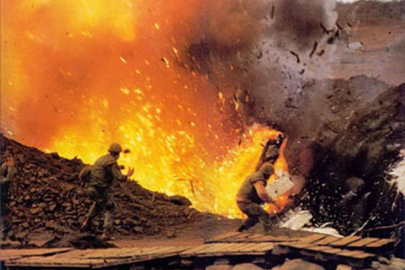
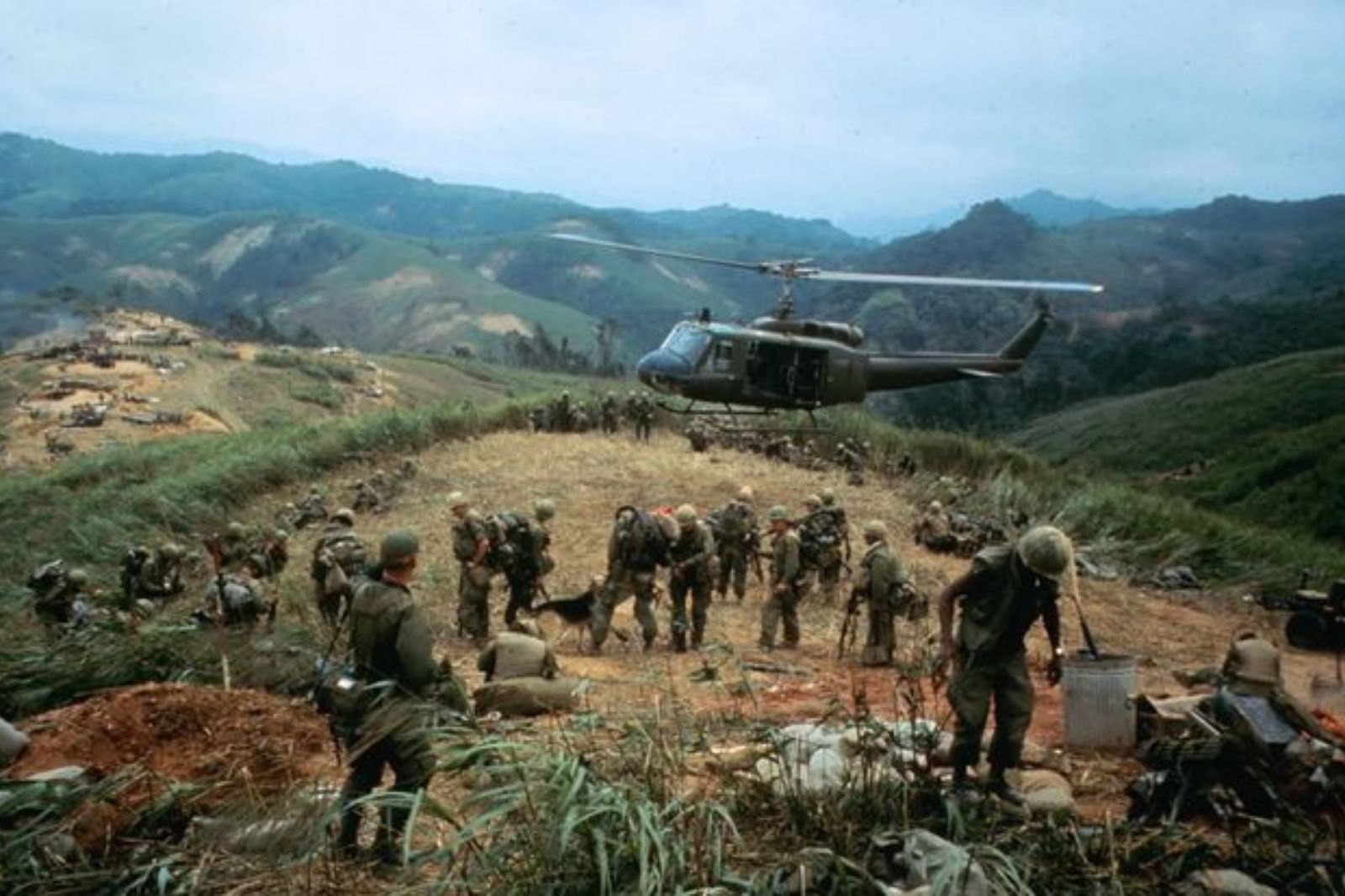
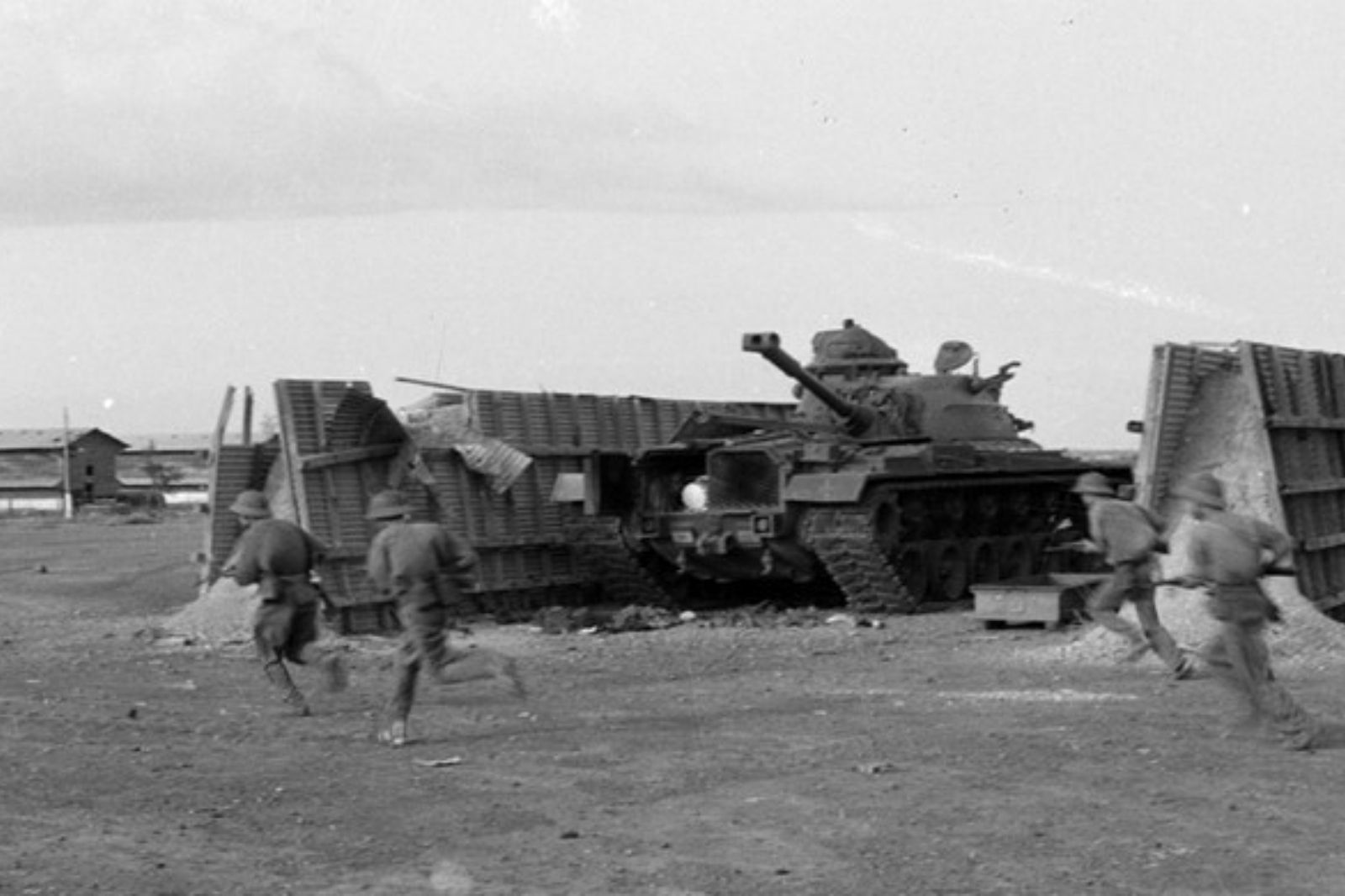
Lang Vay Strongpoint is located on a basalt red soil hill cluster in Tan Long commune (now bordering Tan Lap commune), Huong Hoa district, Quang Tri province. It is situated about 1 km south of National Route 9 (km 75), and about 8-15 km southwest of the Ta Con (Khe Sanh) strongpoint cluster. This was an important outpost blocking the western gateway of the Route 9 - Khe Sanh defense system. The US built Lang Vay on two high points, 320 and 230, measuring about 600m in length and 200m in width. The stronghold was reinforced by a system of fortified bunkers and trenches, multi-layered barbed wire fences, dense minefields, and powerful artillery positions (106.7mm, 81mm mortars...).
The defending force included Montagnard CIDG (Civilian Irregular Defense Group) forces, US advisors, and several other units. Prior to the 1968 battle, about 520 Royal Lao soldiers retreated here from Huoi San, bringing the total troop strength to around 900. The weaponry was heavily armed with hundreds of Claymore mines, M72 LAW anti-tank weapons, and various mortars and heavy machine guns. Lang Vay was not only a military strongpoint but also a 'chokepoint' blocking troop movement routes from Laos into the South, contributing to the defense of Khe Sanh – the US strategic 'anchor' in northwestern Quang Tri.