Quang Binh has a total natural area of 8,065.27 km2, accounting for 2.41% of the country's total area, with narrow and steep terrain sloping from West to East, situated on the eastern slope of the Truong Son Range. The terrain is divided into three main regions:
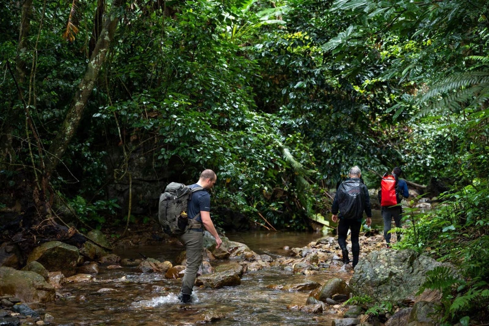
- High mountain region: Accounting for over 85% of the area, mainly in the West, with mountain ranges belonging to Phong Nha - Ke Bang National Park. This is an ancient karst area, formed over 400 million years ago, featuring a complex cave system including over 104 km of caves, among which are: Phong Nha Cave system: Over 44.5 km long, with boat tours venturing 1,500 m deep, achieving 7 criteria of the world's most beautiful caves. Son Doong, discovered in 2009, is believed to have the largest cave passage in the world in terms of diameter and continuity, with evidence of hydrothermal activity and giant stalactites.
- Hilly and midland region: Including districts such as Bo Trach, Quang Trach, Quang Ninh, Le Thuy, Dong Hoi, with moderate terrain, suitable for agriculture and livestock farming.
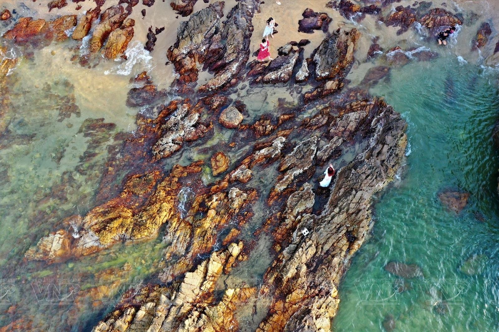
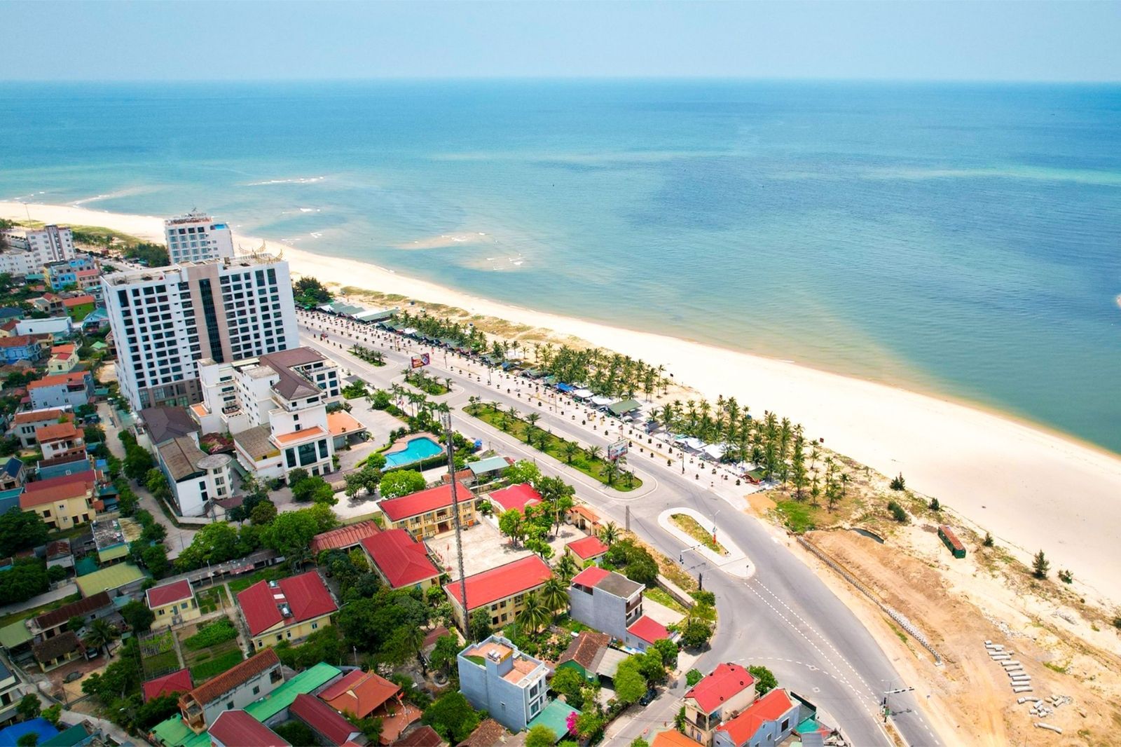
- Coastal plain region: Accounting for nearly 15% of the area, including beaches like Nhat Le, Da Nhay Beach, and coastal sand areas in Quang Trach, Bo Trach, Quang Ninh, Le Thuy, Ba Don, Dong Hoi. This area develops fishing thanks to a continental shelf 2.6 times larger than the land area.
- The river system in Quang Binh is short and steep but plays a crucial role. There are 5 main rivers: Roon, Gianh, Ly Hoa, Dinh, Nhat Le with a total basin of 7,778 km², a total length of 343 km, providing about 4 billion m³ of water annually.
Regarding land resources, Quang Binh has 10 main soil groups. Grey soil accounts for the majority (about 63.95% of the area), followed by shallow soil, sandy soil, and alluvial soil, creating favorable conditions for agricultural and forestry production.