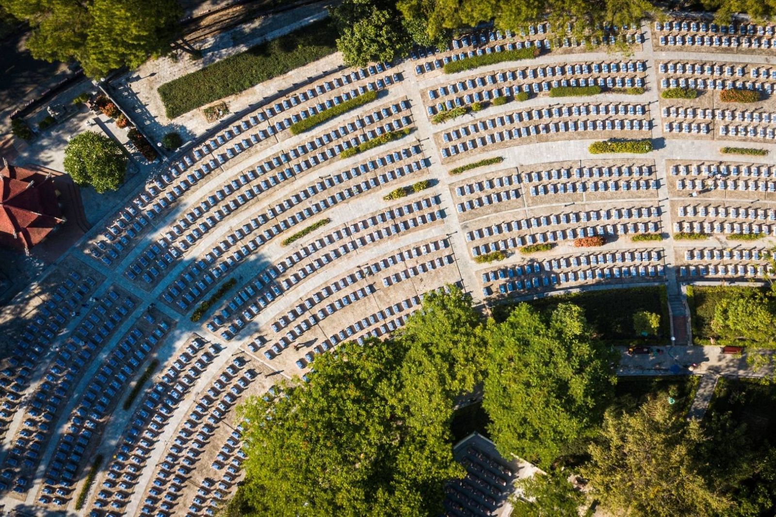
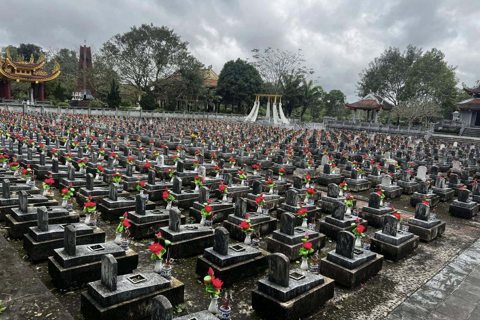
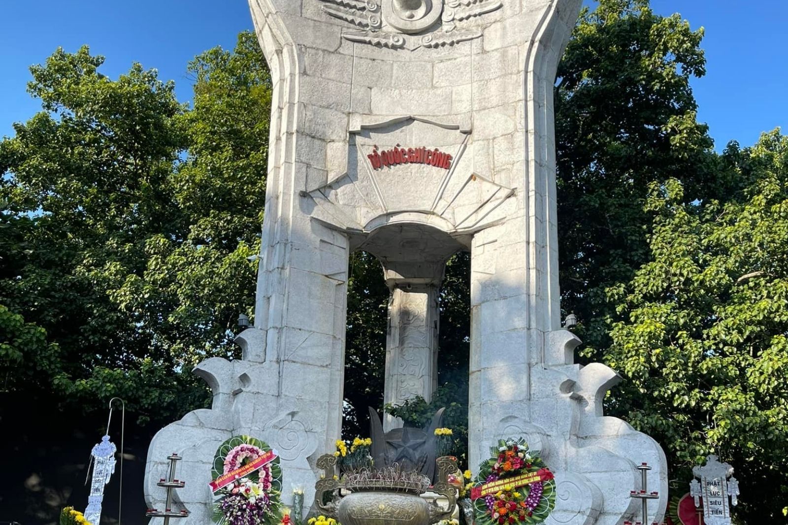
The Truong Son Trail (Ho Chi Minh Trail) was a key strategic transport route during the resistance war against America to save the country. Since 1959, when Group 559 (Truong Son Army Corps) was established, tens of thousands of cadres, soldiers, and young volunteers braved hardships, bombs, and bullets, crossing deep forests and roaring streams to provide support to the Southern battlefield.
According to historical records, more than 20,000 people sacrificed their lives along this route and related battlefields (including Laos and Cambodia). Following the 1973 Paris Peace Accords and especially after national reunification (April 30, 1975), the need to gather the remains of fallen soldiers became urgent.
The construction idea originated from Lieutenant General Dong Si Nguyen – Commander of the Truong Son Army Corps. He proposed that the Party, State, and Military choose a suitable location to build a large-scale cemetery, creating a "common home" for the heroic martyrs. After careful survey, Ben Tat Hill was chosen because:
- It was closely connected to the Truong Son Army Corps: In 1959, the first guide station was located near Khe Ho; in 1973, the headquarters of the Truong Son troops was stationed here.
- Strategic location: Situated next to the Ho Chi Minh Highway (now National Route 15), near the upstream of the Ben Hai River – the border dividing the country during the war.
- Spiritual significance: The site symbolizes the bond between the martyrs and the road they gave their lives to protect.
The Politburo approved this proposal, turning the idea into a national project rich in tribute and traditional education values.