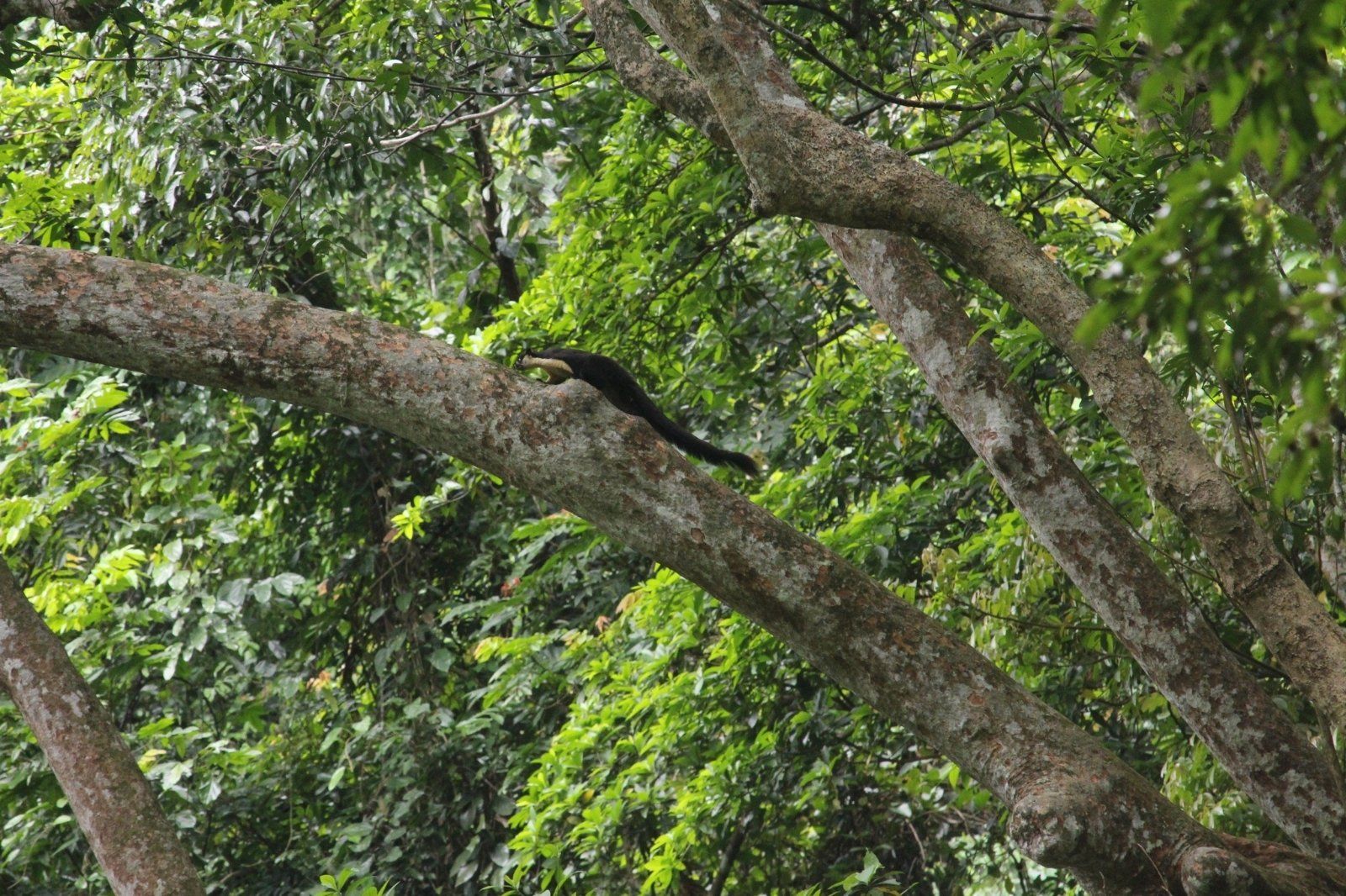
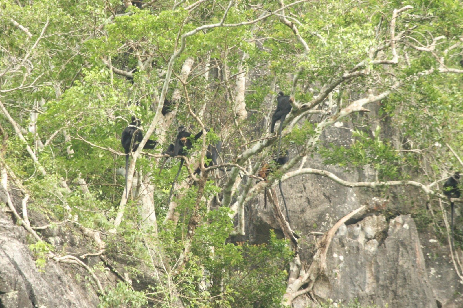
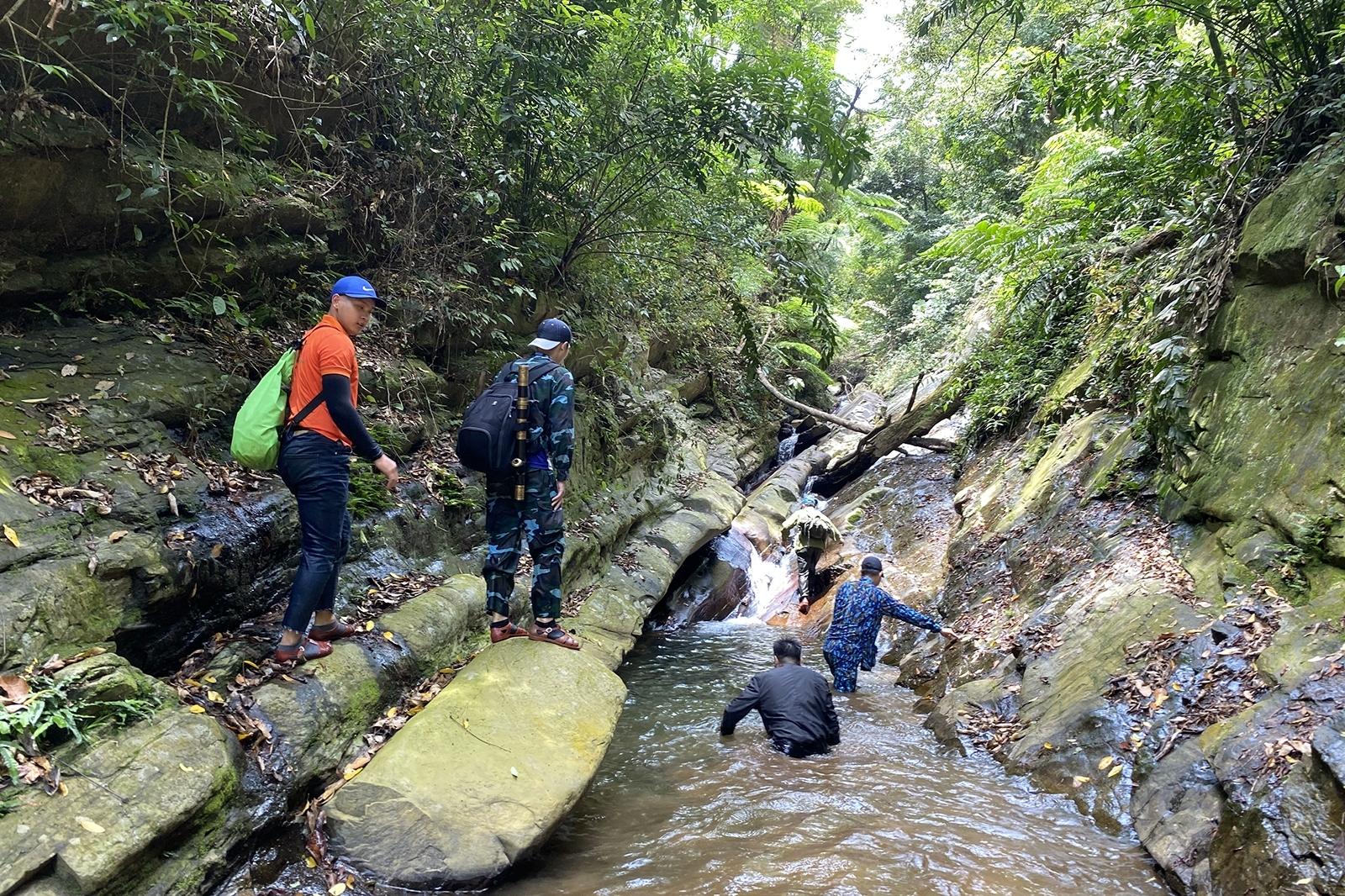
Bac Huong Hoa Nature Reserve was established under Decision No. 1183/QD-UB dated July 7, 2010, by the People's Committee of Quang Tri Province. The reserve spans 5 communes including Huong Lap, Huong Viet, Huong Phung, Huong Son, and Huong Linh in Huong Hoa district. Covering an area of approximately 23,456.71 ha, the area is mainly covered by primary and secondary forest ecosystems situated in the low mountainous region of the southern North Truong Son range. The terrain altitude ranges from about 150 m to nearly 1,700 m above sea level, creating a diverse natural landscape and a unique climate.
In addition to its biodiversity value, Bac Huong Hoa plays a vital role in watershed protection for major rivers such as the Ben Hai River, Rao Quan, Hieu River, and Se Pang Hieng River (Laos). The reserve contributes to regulating water sources, protecting the ecological environment, and supporting the operation of the Rao Quan hydropower and irrigation reservoir. It is also referred to by many tourists as the "Da Lat of Quang Tri" thanks to its cool climate year-round. The average temperature ranges between 24–25°C, featuring chilly winters, high humidity, and abundant rainfall, which is extremely suitable for eco-tourism, relaxation, and nature exploration activities.
With pristine landscapes and a pleasant climate, Bac Huong Hoa is gradually becoming an attractive destination for nature lovers looking for a peaceful space amid the vast Truong Son forests.