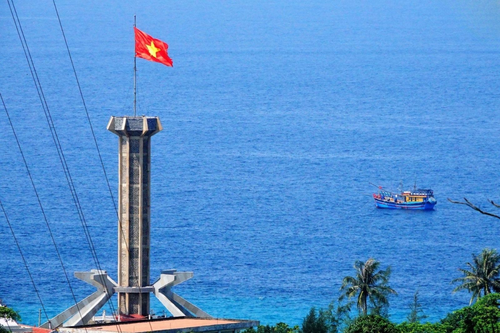
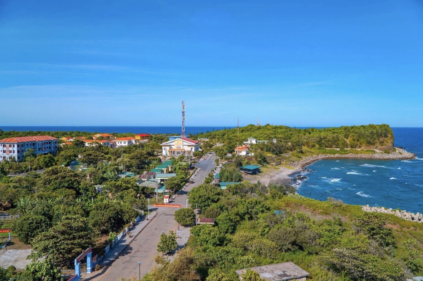
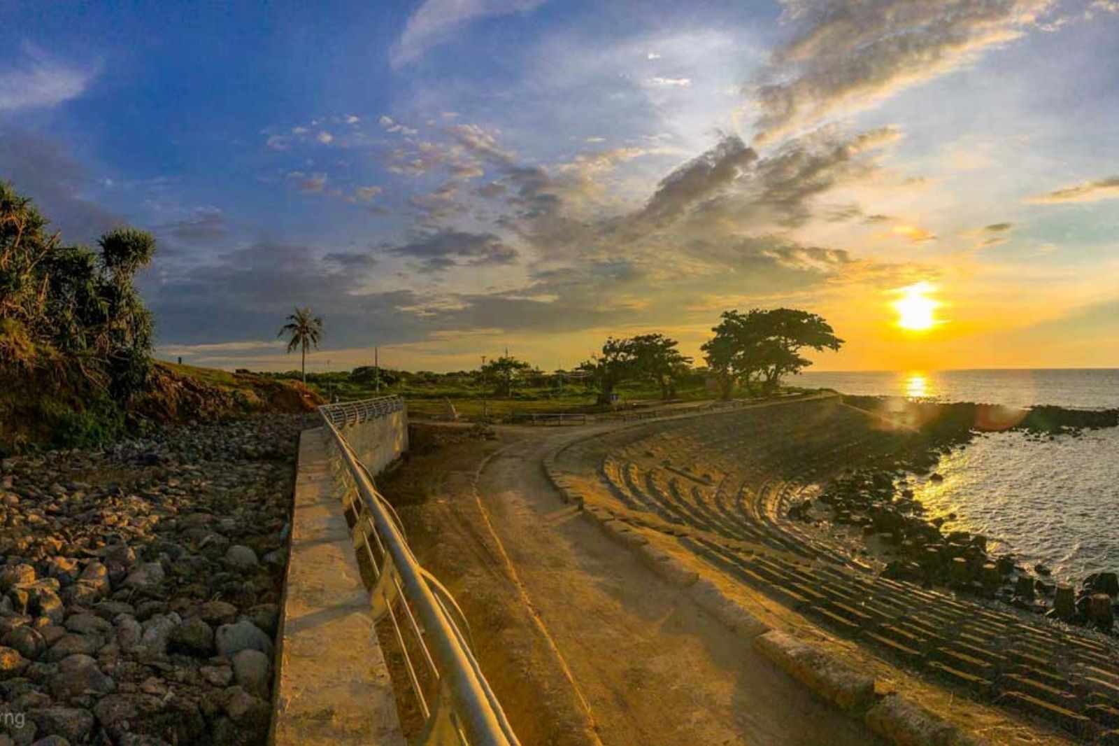
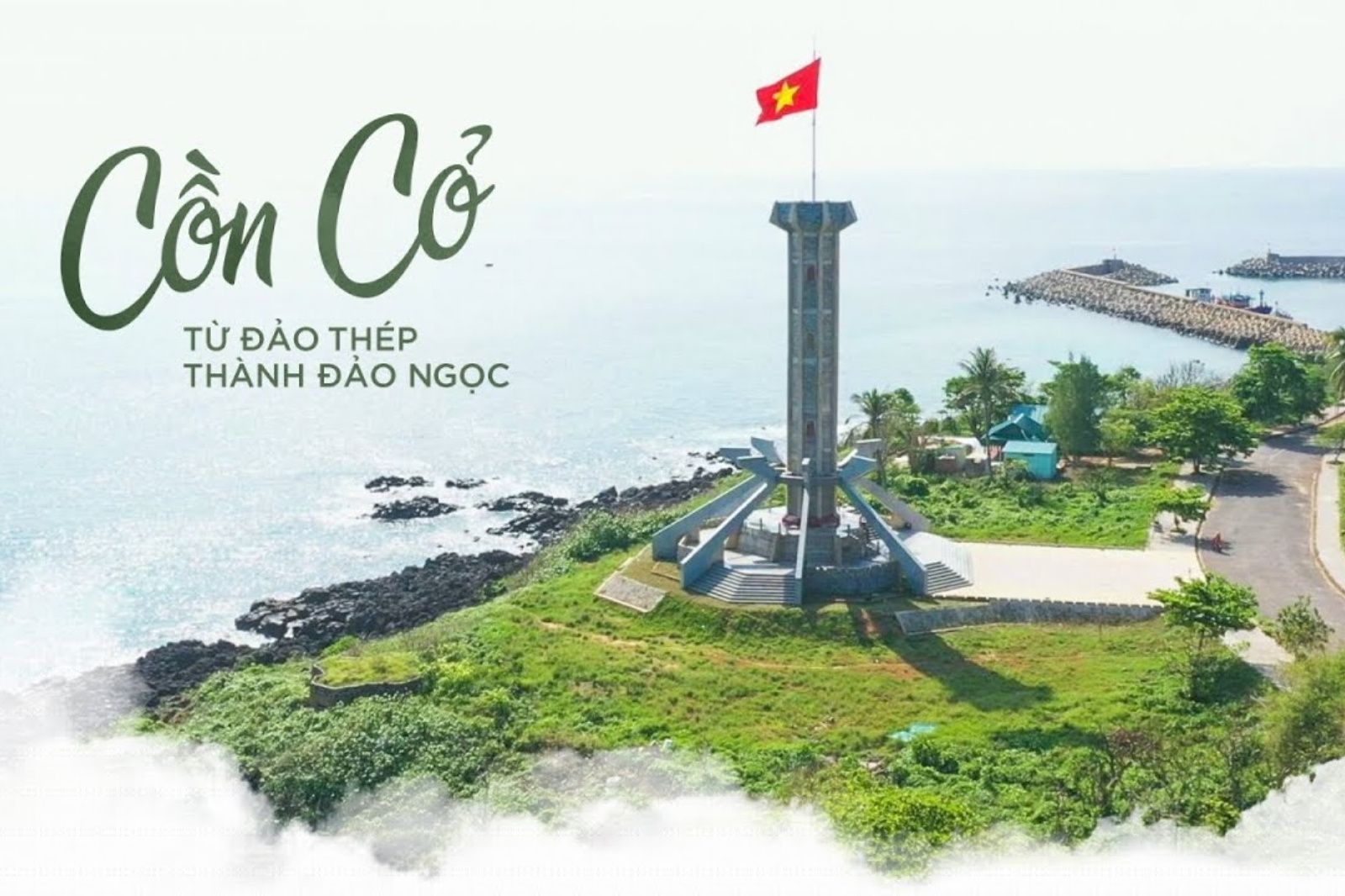
Con Co Island is located at coordinates around 17°10' North latitude, 107°20' East longitude, 13-17 nautical miles (about 24-30 km) East of the mainland (Mui Lay, Vinh Linh District, Quang Tri Province). It is a basalt island of volcanic origin, nearly circular in shape, with a maximum elevation of 63m and over 60% of its area covered by natural forest.
The strategic location of Con Co is extremely important:
- Southern Gateway of the Gulf of Tonkin: Serving as point A11 on Vietnam's baseline, helping define internal waters, the 12-nautical-mile territorial sea, and the 200-nautical-mile exclusive economic zone.
- Sovereignty Protection Outpost: Positioned at the transition area between the Gulf of Tonkin and the East Sea, controlling rich fishing grounds (Tiger Fishing Ground) and vital maritime routes.
- National Defense Factor: Serving as a solid military stronghold, a key link in the North Central coastal defense line, monitoring airspace and maritime areas, protecting the Northern rear, and supporting the Southern front line.
Because of this "outpost in the ocean" position, Con Co became a key target that the enemy sought to capture or destroy to sever maritime supply lines.