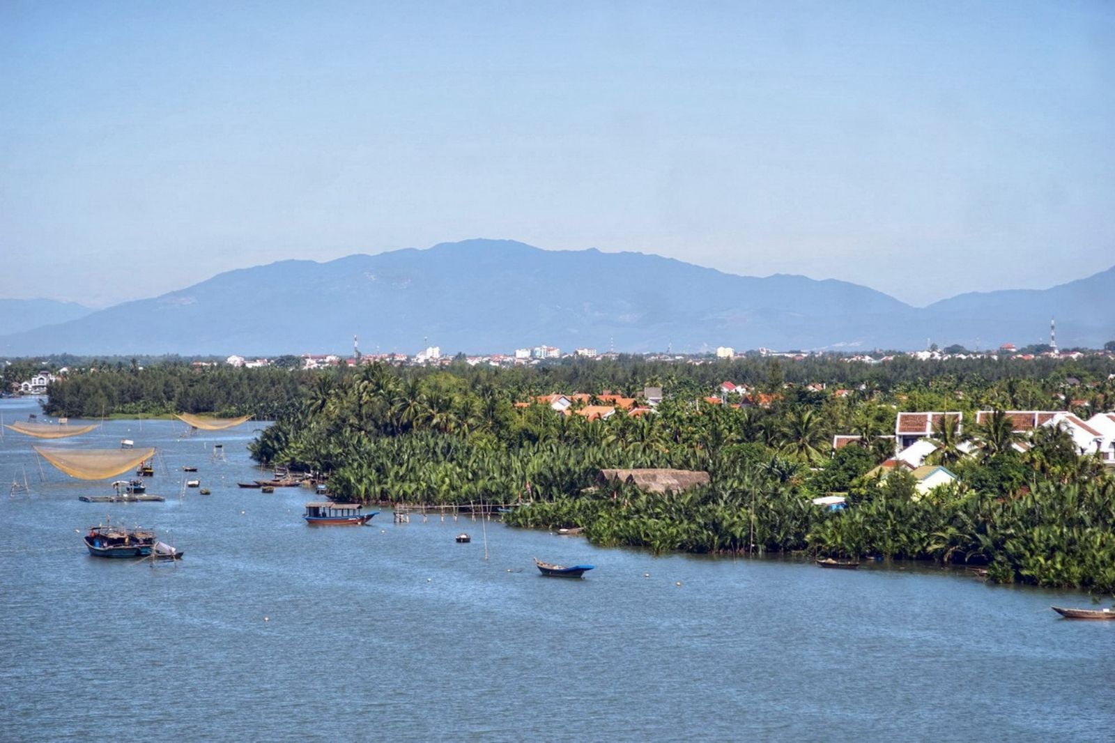
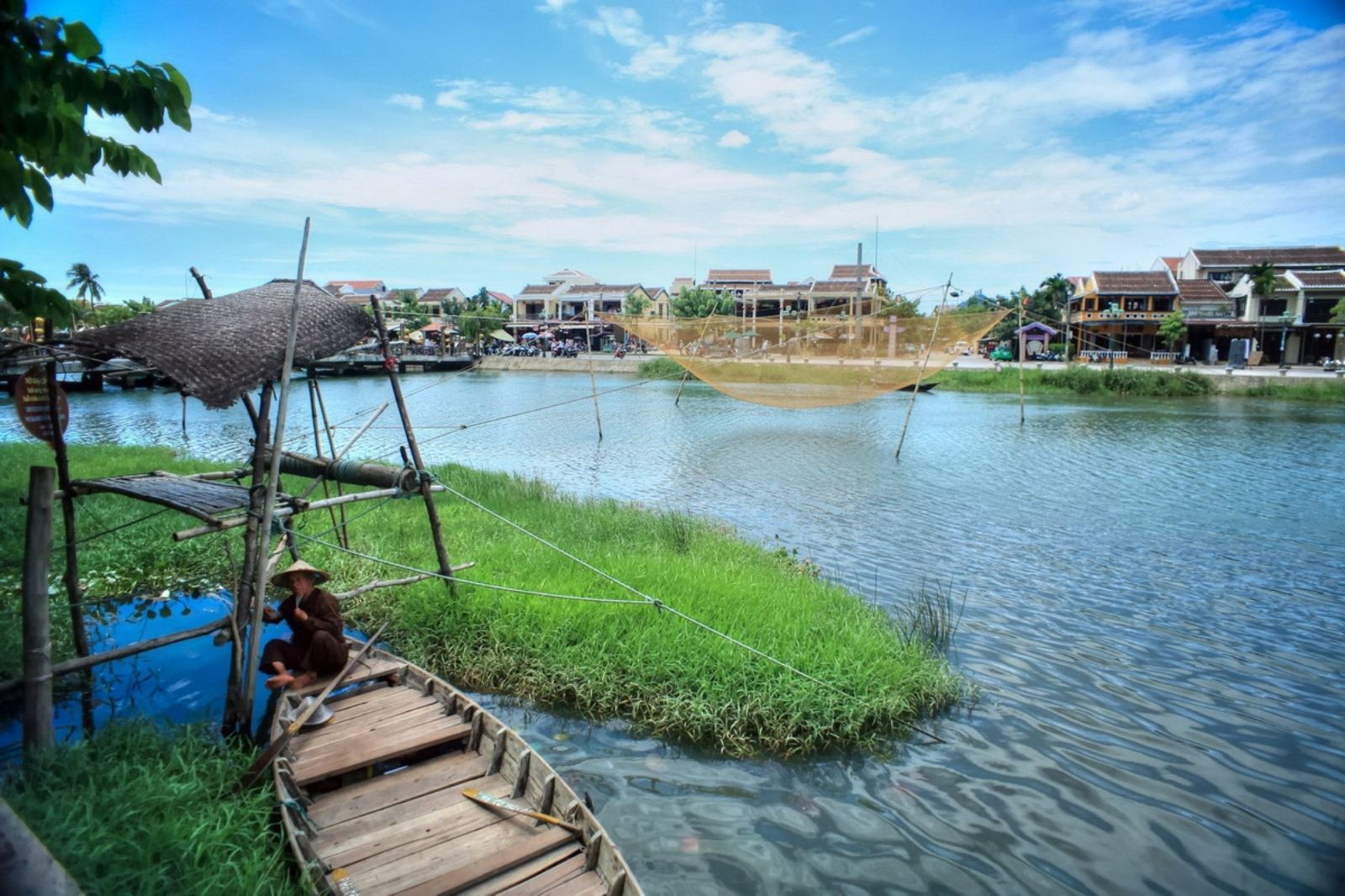
The Thu Bon River is located in Central Vietnam, flowing mainly through Quang Nam Province and part of Da Nang City. The river originates from the Ngoc Linh mountain mass – the highest mountain in Central Vietnam with an altitude of 2,598m, in Dak Glei District, Kon Tum Province. From its source, the river flows northward through midland districts such as Nam Tra My, Nong Son, Duy Xuyen, and Dai Loc. Here, it converges with the Vu Gia River to form a major river system, before emptying into the East Sea at Cua Dai, near Hoi An Ancient Town.
With a length of about 205km and a basin area of up to 10,350km², the Thu Bon River is one of the largest inland rivers in Vietnam. The river basin covers most of Quang Nam Province and Da Nang, creating an intricate river network with over 80 tributaries longer than 10km. The main flow direction is from West to East, winding through narrow plains mixed with hills, carrying fertile alluvium to enrich the land of Quang. If you are looking for its specific location, the Thu Bon River is about 30km south of Da Nang, serving as an important waterway connecting landmarks such as My Son, Hoi An, and Cu Lao Cham.